Jiangxi Lushan Xihai CITIC Group Golf Floating Bridge
(1) Project Overview
Project Name: Jiangxi Lushan Xihai CITIC Group Golf Floating Bridge
Project location: Jinkou, Wuning, Jiangxi
Construction scale: total length of 148m
Project Phase: Construction Drawing Design
Project Status: Completed
Design unit:; Guangzhou Blue Water Architectural Design Co., Ltd
(2) Project Overview
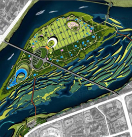
Lushan Xihai is a national key scenic spot located between Yunju Mountain and Zhelin Lake in Jiujiang City, Jiangxi Province; Lushan West Sea; )It is a mountain lake type mega scenic spot that integrates the largest earth dam reservoir in Asia, a model jungle of Chinese Buddhism, and a national forest park. The total planned area of the scenic spot is 495 square kilometers, including a water area of 308 square kilometers, 1667 islands of more than 3 acres, and a total capacity of 8 billion cubic meters.
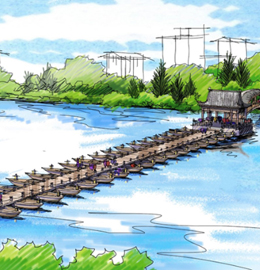
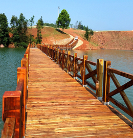
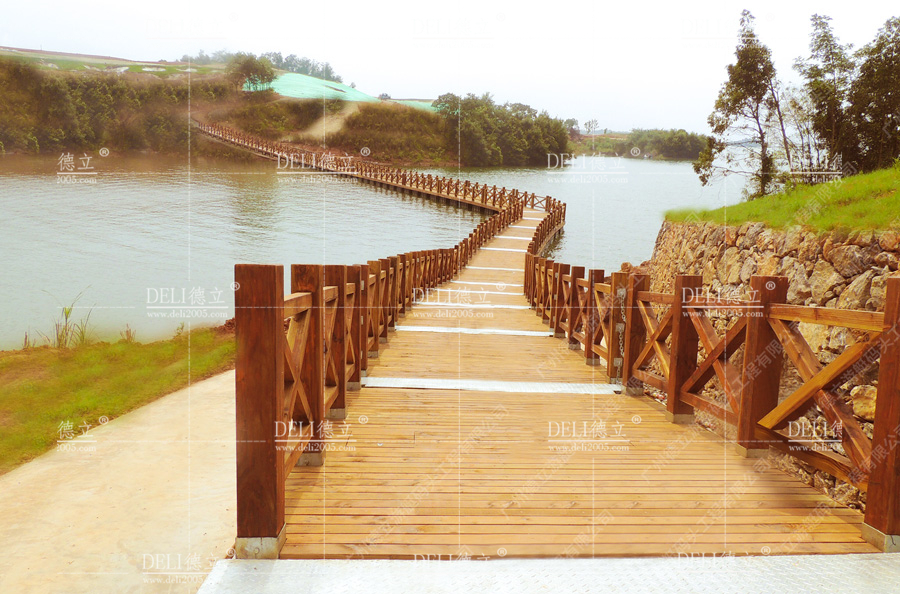
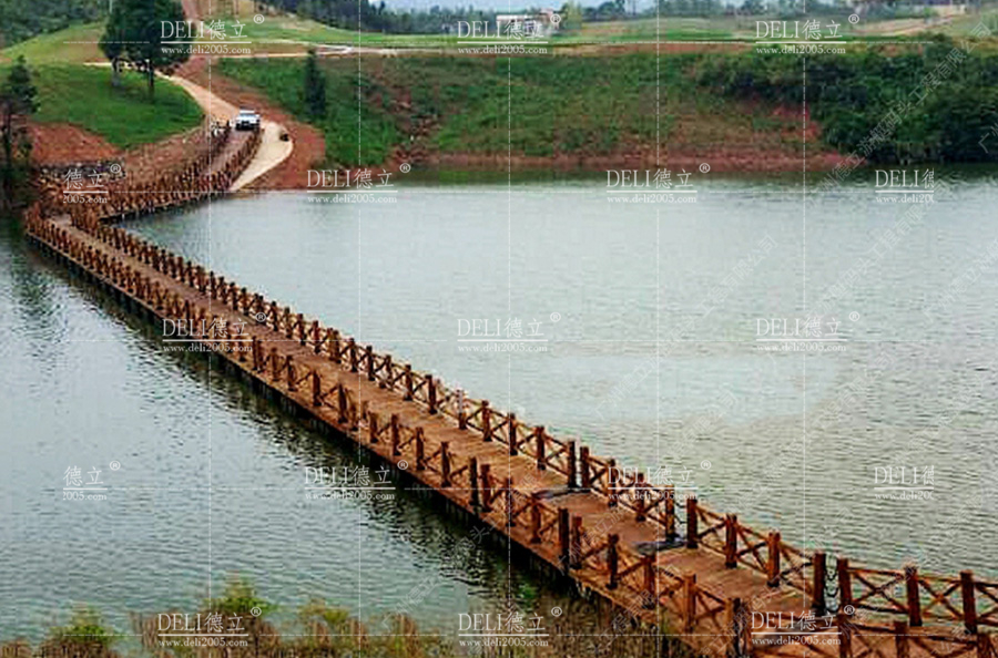
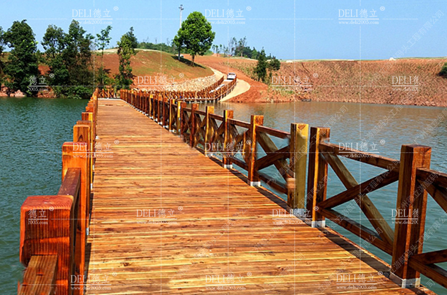
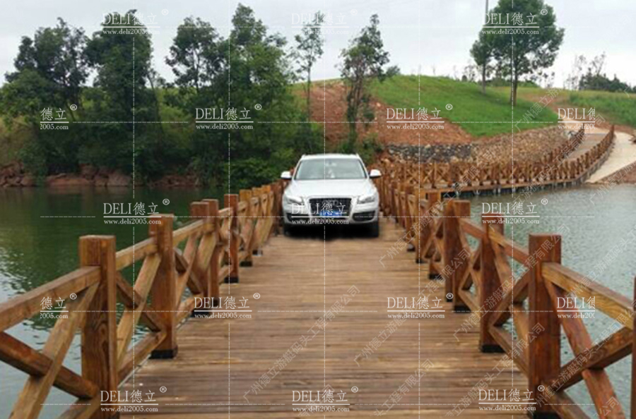
Jiangxi Lushan Xihai CITIC Group Golf Floating Bridge: with a total length of 148 meters, a bridge width of 3.1 meters, and a total floating bridge area of approximately 437 square meters. The water level drop is 10 meters. The floating bridge is independently designed and constructed by our company. It is also the only floating bridge in China where golf carts can pass.
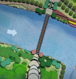
The technical difficulty of this floating bridge is high, with a large drop in water level within the design range, significant fluctuations in terrain, and steep slopes in many areas of the mountain. According to the topographic map, the slope of local contour lines is relatively gentle; After the road is constructed, the slope will be less than 20% (the maximum safe climbing for golf electric scooters is 30%). Therefore, according to the road plan of the mountain, floating bridges should be erected at suitable locations so that they can land on the road during low water levels. This plan is designed with a maximum water level of 66 meters and a minimum water level of 56 meters, and can be used normally between these designed water levels.
The terrain of the project is complex, and the design of the floating bridge is in the shape of an S, using a combination of floor standing and floating to meet the normal use and water level drop of the floating bridge.